The best way to enjoy the natural scenery in Rebun Island is definitely by hiking on its several well defined trails. Some of the main sight-seeing spots (such as the northernmost point, Cape Sukoton (スコトン岬), in previous post) are accessible by car or bus, but just visiting these would definitely be missing out the full experience.
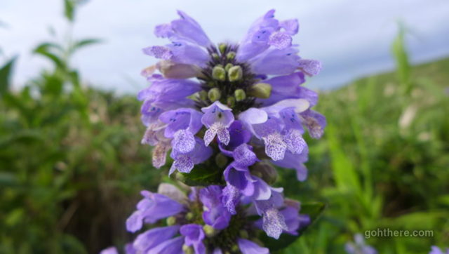
Rebun Island is also known as the flowers island, as due to its high latitude, alpine flowers that are normally found high in the mountains can be seen all over the island despite it being relatively flat (the highest point is only about 490 metres). The best season for flowers is in June, so by the time of our visit in end July it’s already past its peak, but we could still see a fair amount.
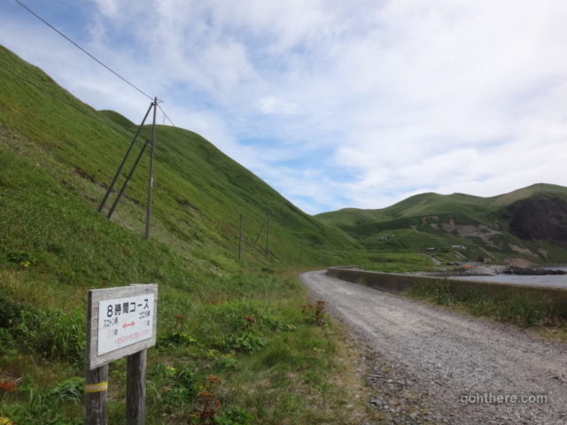
Rebun Island guide maps usually indicate 7 hiking courses. The two most popular ones (as they offer the best views along the way) are the “Roam the Capes” course (岬めぐりコース) in the north, and the “Peach Rock Observatory” course (桃岩展望台コース) in the south. There’s also what’s called the “8-hour course”, a more challenging course that traverses almost two-thirds of the island, and many people claimed that “8-hour” is an over-optimistic figure.
The “Roam the Capes” course we planned to do today also used to be called the “4-hour course”, though again the 4-hour can be misleading as it’s over 12 km with a fair amount of ups and downs. There are bus stops on both ends of this course, though you definitely need to time it well given there are only 5 services per day!
Our start was from the northern end of Cape Sukoton, and the southern end is just about 1.5 km away from our guesthouse, so even if we did miss the bus, it’s still walkable and we wouldn’t be stranded. It’s a good idea to have accommodation somewhere in the same area, given the somewhat limited transport.
(Yes, rental car is also available on the island, but they are much more expensive than in “mainland” Japan, and either way – a car is not much use in this case because the start and end are in different places!)
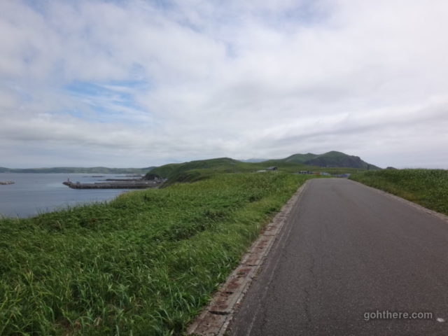
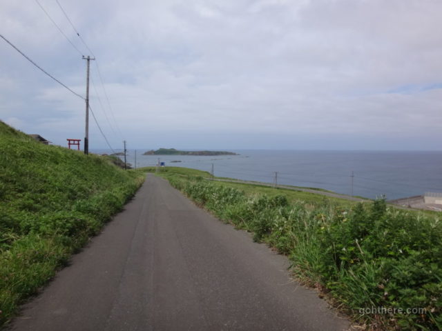
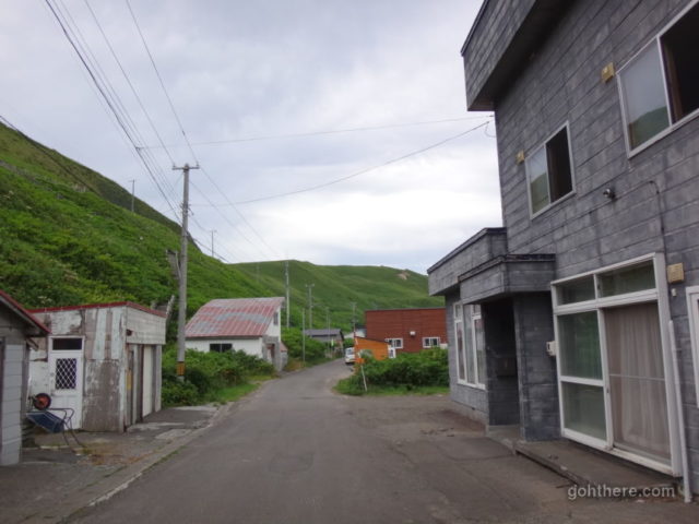
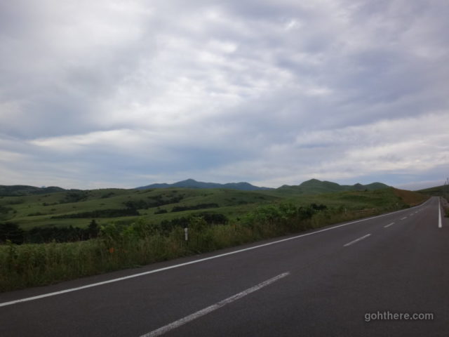
Following the main road from Cape Sukoton, heading south…
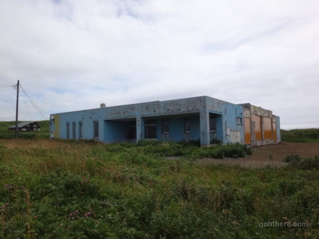
“Sukoton Elementary School” (礼文町立須古頓小学校) – now an abandoned building. Not surprising, low birth rate in Japan, and in particular in a rural area like this.
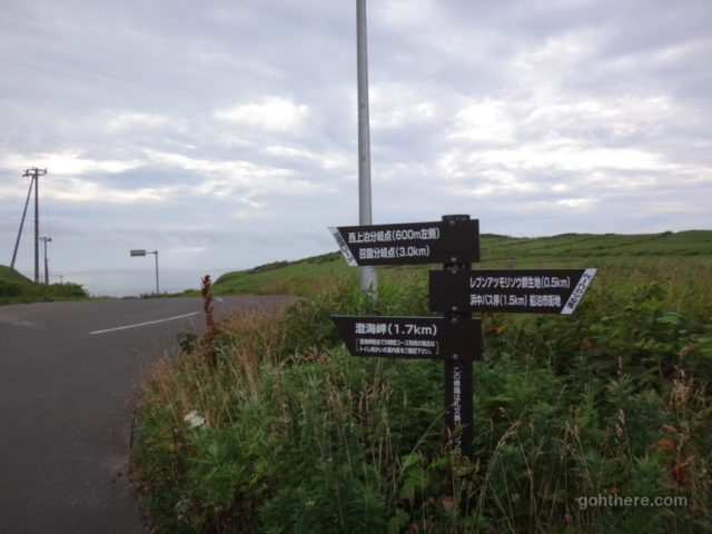
At some point there was finally a sign indicating the direction for the course – the main road continues on the left (east coast), and the course on the right.
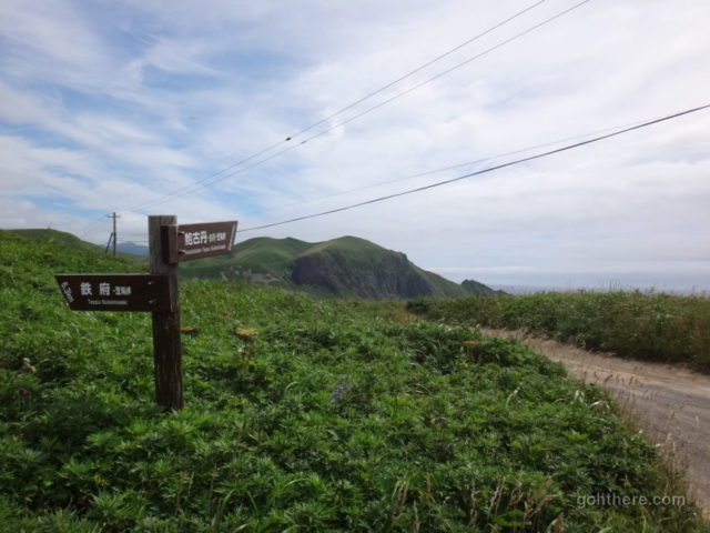
Tarmac ends and the proper trail starts here. We followed the sign for Awabikotan (鮑古丹).
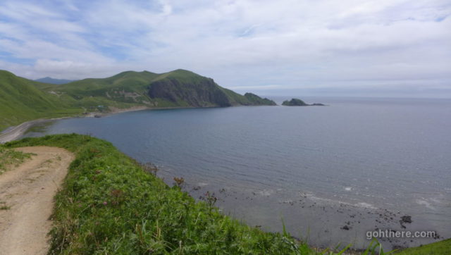
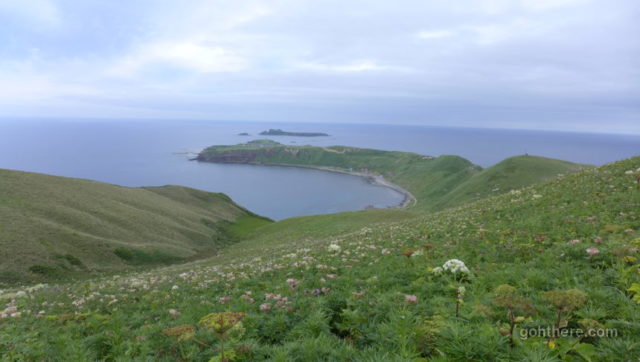
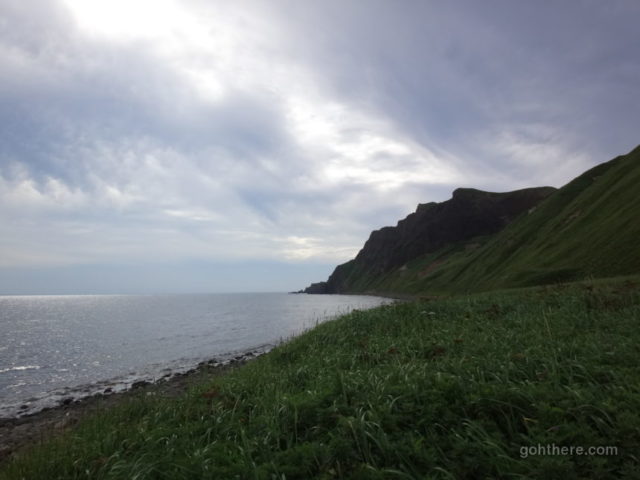
The coastline of Awabikotan (鮑古丹). On the far end is Cape Gorota (ゴロタ岬), we followed the trail there.
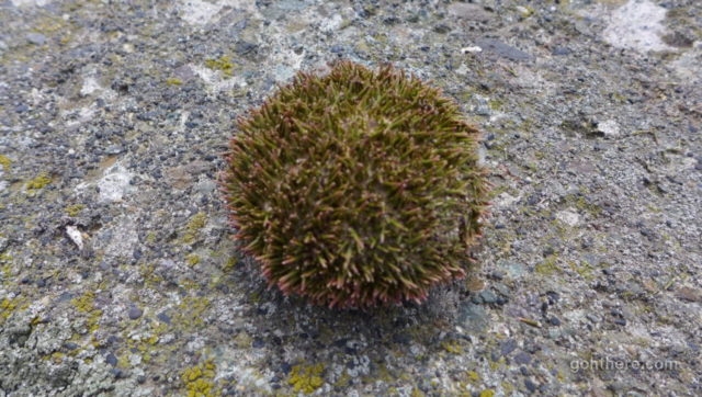
Once we got down to the shore we noticed many of these sea urchin shells…
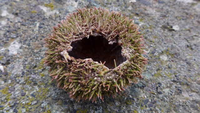
And apparently the good bits were eaten. Were these left by the seabirds?
This section seems to overlap with the “8-hour course”. But frankly there weren’t many signs on the way, so we were wondering if we were on the right track.
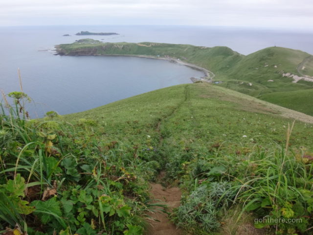
Looking back at Awabikotan.
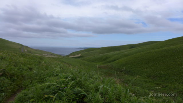
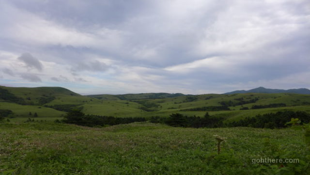
And looking back again further up, in the middle of green rolling hills.
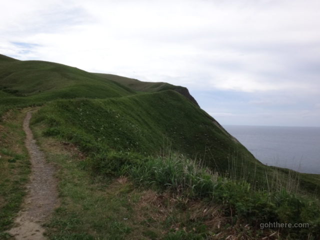
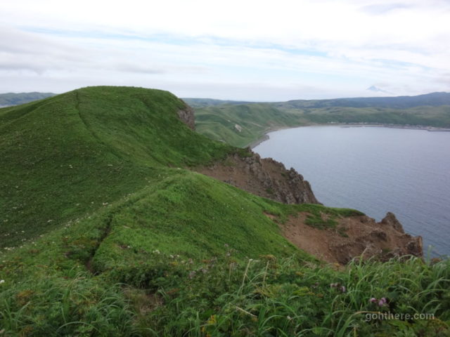
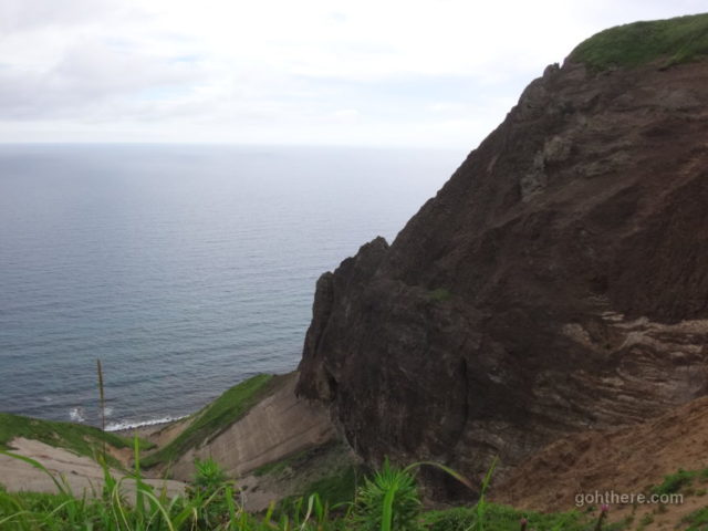
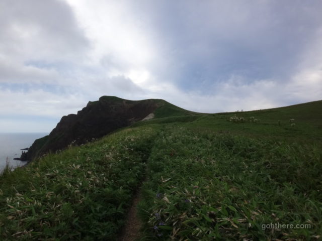
As we headed towards Cape Gorota, the incline started to get steeper.
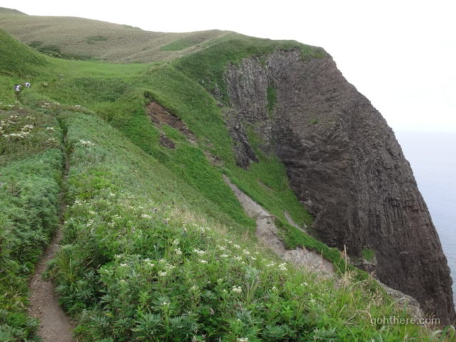
A sheer cliff next to the sea.
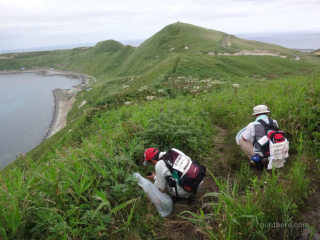
These two guys were at work, painstakingly checking plants on the trail to remove any foreign species brought in by visitors (e.g. seeds carried on hiking shoes).
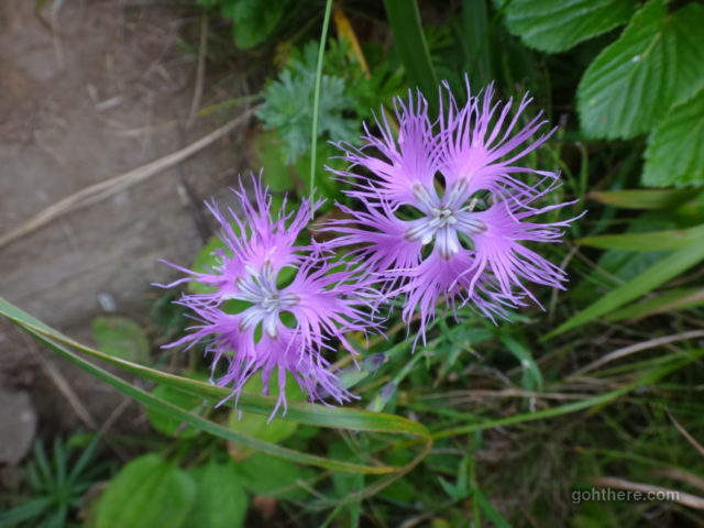
Not the peak flower season, but still came across some interesting ones.
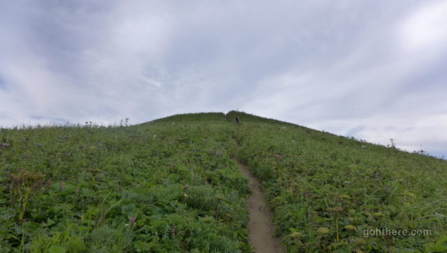
Nearly the top!
Looking back at Cape Sukoton, where we started.
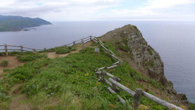
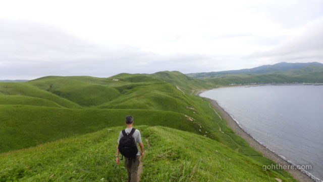
Top of Cape Gorota (ゴロタ岬), time for a break and enjoy the view from the high point.
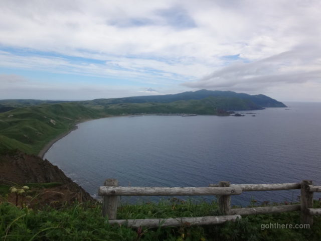
This is the direction we’d be heading. Again the trail follows the coastline, leading to Cape Sukai, the first cape on the right. At that point it rejoins the road, but it would be another 3 km from there before reaching the bus stop.
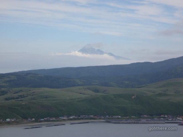
Mount Rishiri, of Rishiri Island, can be seen just peeking above the clouds.
Although the trail was possible to follow, the plants were starting to grow over it and they were quite tall. It’s much better to wear long trousers so you can force your way through and not get tangled.
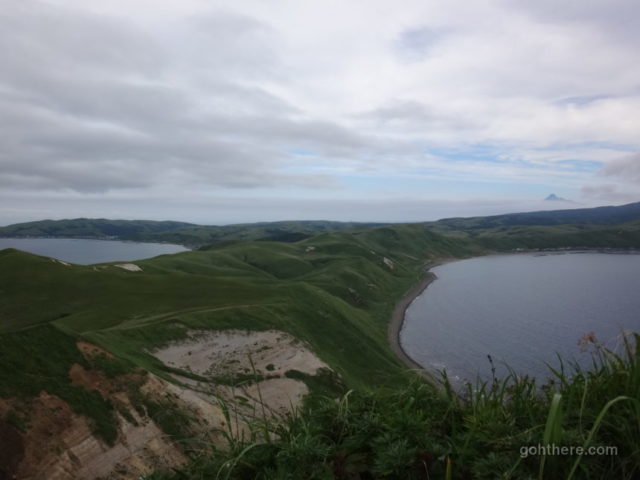
From here could see the sea on both sides!
Coming down on the other side of Cape Gorota.
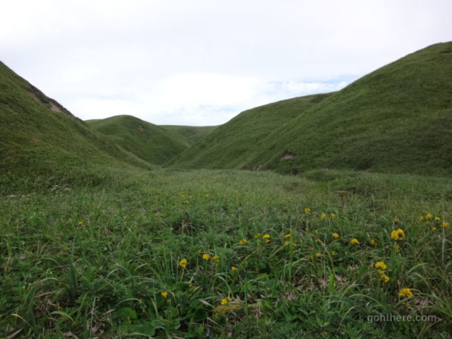
Green valley
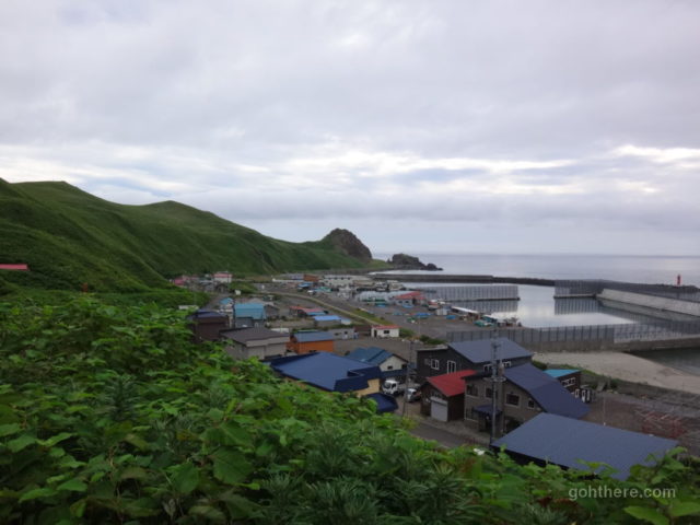
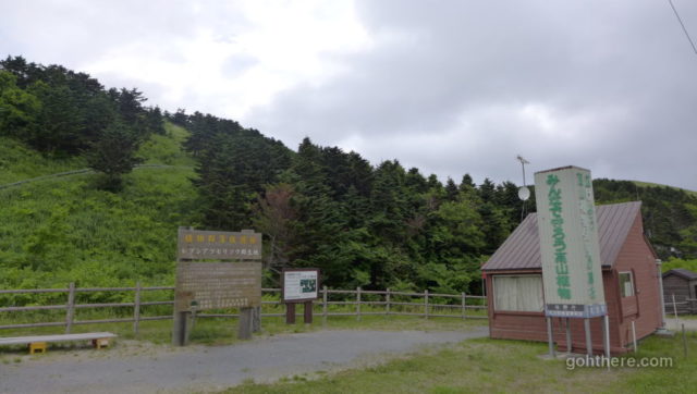
Eventually we reached the small settlement Teppu (鉄府). This is the only place with toilet since the starting point.
Some houses there were abandoned, but we also saw some with people busy at work, putting seaweed (konbu) out to dry, etc.
Time was almost 4:30 pm, and there’s still at least 5 km left if we continue on, including another climb before Cape Sukai.
It would’ve been nice to tick off this area today, but there’s no point to push too hard. So we took a bail out route from Teppu, a shortcut to reach the end of the trail in 2 km bypassing Cape Sukai. We’d leave that for tomorrow.
Sign showing we’re now only 1.5 km from the bus stop.
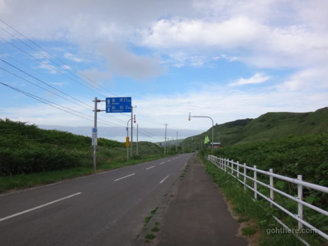
Just continue walking along this road, this will eventually meet with the main road where the bus stop is.
Vast rolling hills on on one side.
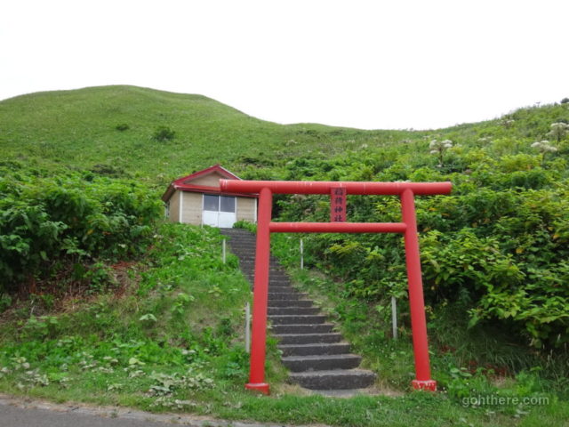
On the way is the protected area for Atsumori, the flower unique to Rebun. Again, their flower period is in June, so we couldn’t see any.
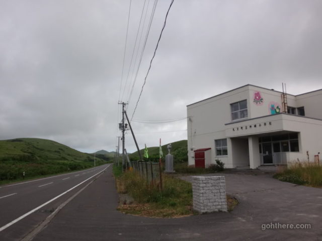
Finally at the end of this road is the “Kanzaki Elementary School” (礼文町立神崎小学校). It looked a bit rough, but at least seemed to be still in use.
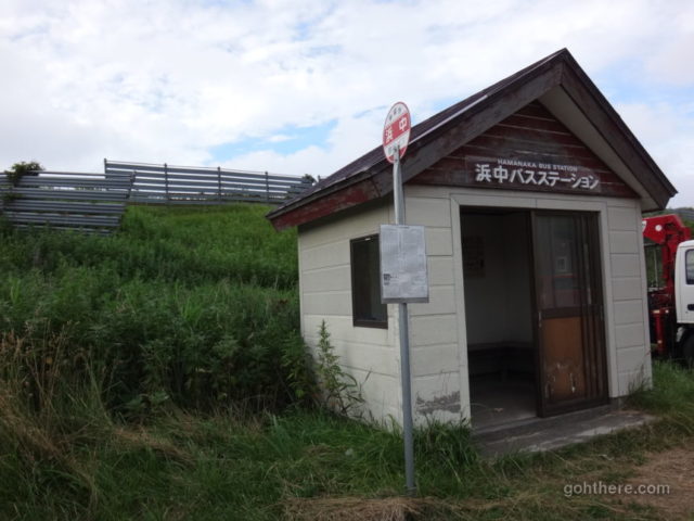
And opposite is the Hamanaka Bus Station (浜中バスステーション)! The last bus of the day would be in about half an hour. Instead of sitting there and wait, we decided to just walk all the way back to our guesthouse, for another 1.5 km.
We were back at the guesthouse, “Hotel” Rebunso, a little before 6 pm. There’s still some time before dinner, so we thought about going to the nearby beach again to catch the sunset. We asked the owner if there’s a shorter way to get there – it took us a long while this morning going through Funadomari town. It turned out there’s a short cut, leading straight to the beach in just a few minutes walk!
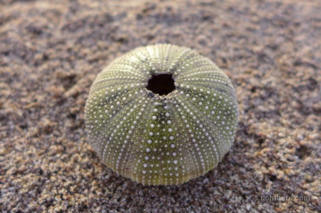
An empty sea urchin shell on the beach. The spikes already fallen off. Lovely pattern.
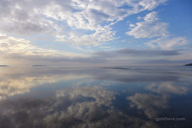
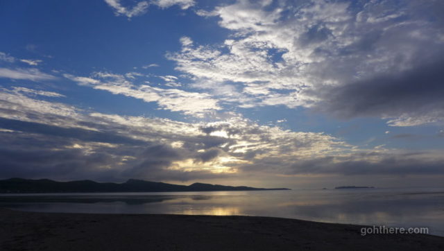
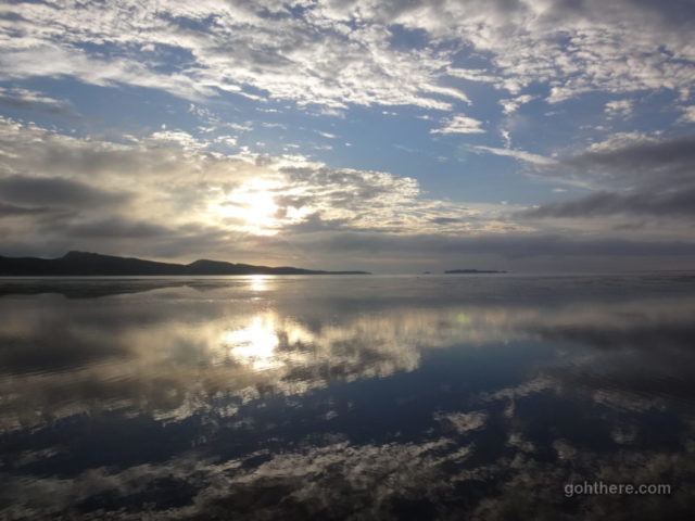
The sea was calm and a perfect reflection of the sky.
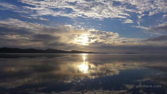
Althought it had been somewhat cloudy during our hike, it’s great that the sky was clearing up during sunset.
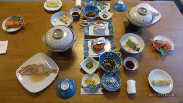
Back at Rebunso, our first proper meal on Rebun Island. Certainly satisfied with the amount of local seafood!
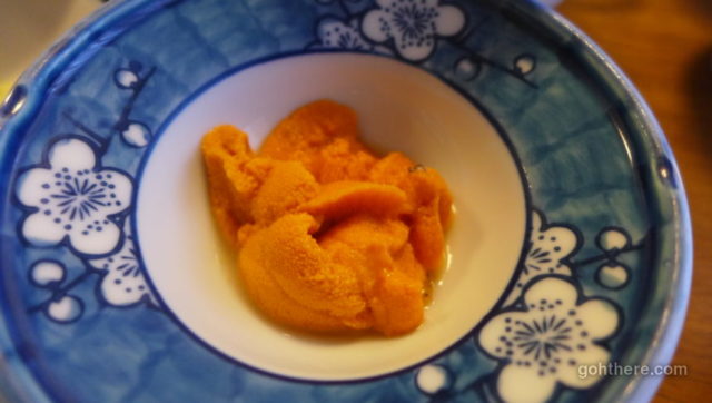
Finally, the legendary Rebun Island sea urchin (礼文島産うに).
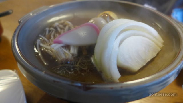
One down side is the lack of hot dishes – there’s only this hot plate of vegetables, but for example the marinated fish was good but it’s cold. So we just moved other food onto it to heat up. The Japanese staff might be thinking we were weird!
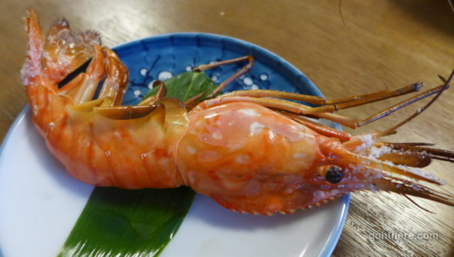
And one of the highlight – a huge “Botan ebi” prawn, supposedly caught fresh this morning. It was served raw initially, but they would grill it for you if requested.